![Item #40194 Maps. Stansbury's Expedition. (Cover Title). [Map One]: Map of the Great Salt Lake and Adjacent Country in the Territory of Utah. (1849 & 1850). ~ [Map Two]: Map of a Reconnoissance (sic) between Fort Leavenworth on the Missouri River, and the Great Slave Lake in the Territory of Utah. (1849 & 1850). Howard STANSBURY.](https://mcgahernbooks-ca.cdn.bibliopolis.com/pictures/40194_1.jpg?width=768&height=1000&fit=bounds&auto=webp&v=1625949387)
![Maps. Stansbury's Expedition. (Cover Title). [Map One]: Map of the Great Salt Lake and Adjacent Country in the Territory of Utah. (1849 & 1850). ~ [Map Two]: Map of a Reconnoissance (sic) between Fort Leavenworth on the Missouri River, and the Great Slave Lake in the Territory of Utah. (1849 & 1850).](https://mcgahernbooks-ca.cdn.bibliopolis.com/pictures/40194_2.jpg?auto=webp&v=1625949387)
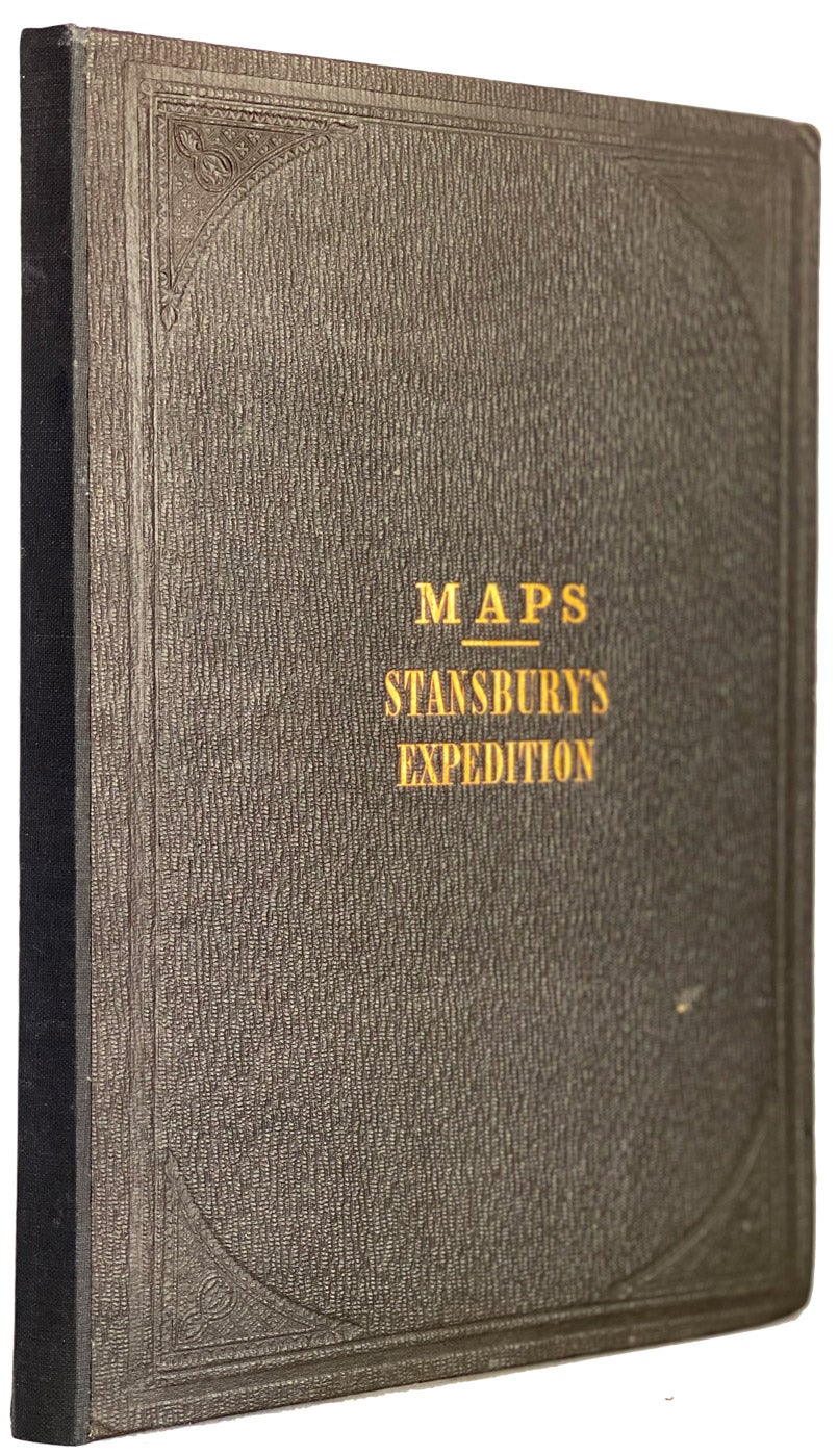
Maps. Stansbury's Expedition. (Cover Title). [Map One]: Map of the Great Salt Lake and Adjacent Country in the Territory of Utah. (1849 & 1850). ~ [Map Two]: Map of a Reconnoissance (sic) between Fort Leavenworth on the Missouri River, and the Great Slave Lake in the Territory of Utah. (1849 & 1850).
Washington, D.C. Department of the Army. 1854. Hardcover. being 2 large folding maps: 113x 80cm (44" x 32") and 78x 174cm (32"x 70"), topographical maps in dark original cloth folder, expertly restored, blind borders with gilt cover titles, both folder and maps in fine condition and are rare thus. (cgc) Stansbury of the Corps of Topographical Engineers, aided by Lieut. J.W. Gunnison Corps Topographical Engineers and Albert Carrington. Drawn by Lieut. Gunnison and Charles Preuss". These large detailed topographical maps include military posts and Indian tribal territories, lithographed by Ackermann Lithograph, New York. The maps were a result of a two year U.S. Army exploratory expedition (1849-1851) that influenced both emigrants and railroad routes to the American West including a new route through the Rocky Mountains. They are very important maps in the development of the expansion of the American West. Item #40194
Price: $1,200.00 save 25% $900.00