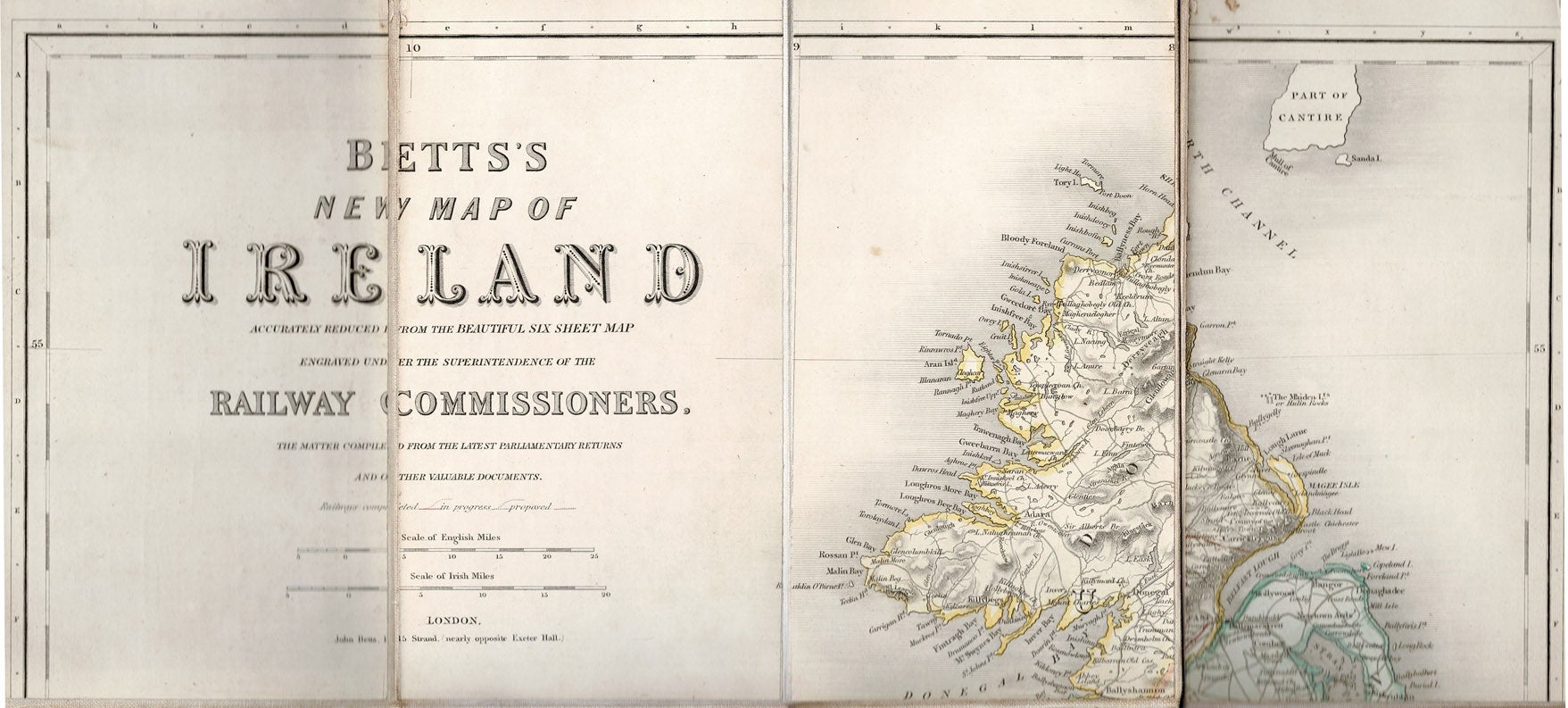
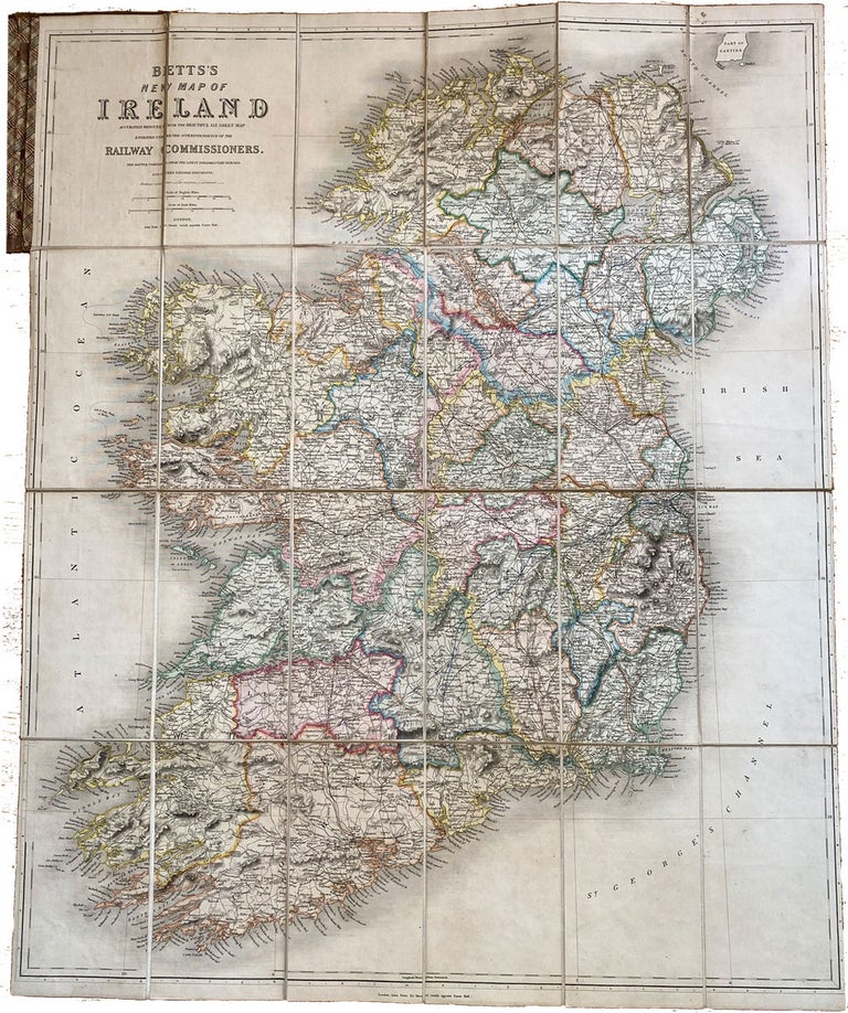
Bett's New Map of Ireland accurately reduced from the Beautiful Six Sheet Map engraved under the superintendence of the Railway Commissioners . The matter compiled from the latest parliamentary returns and other valuable documents.
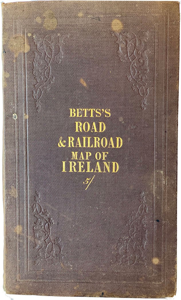
London. John Bett. c.[1860]. Hardcover. Large folding linen backed map: 76 x 64cm, (folded to: 20x 11cm), coloured by county, scales in English & Irish miles, in original brown blind decorated cloth, gilt titles on the upper cover, a few fade stops on the upper cover else fine condition, A very detailed map showing province and county boundaries, major roads and proposed and completed railroads up to the mid-19th century. Item #40226
Price: $500.00 save 25% $375.00
See all items by John MAP BETT