
A Description of the Spanish Islands and Settlements on the Coast of the West Indies. Compiled from authentic Memoirs, Revised by Gentlemen who resided many Years in the Spanish Settlements; and Illustrated With Thirty-two Maps and Plans, chiefly from original Drawings taken from the Spaniards in the last War, and Engraved by Thomas Jefferys, Geographer to His Majesty.
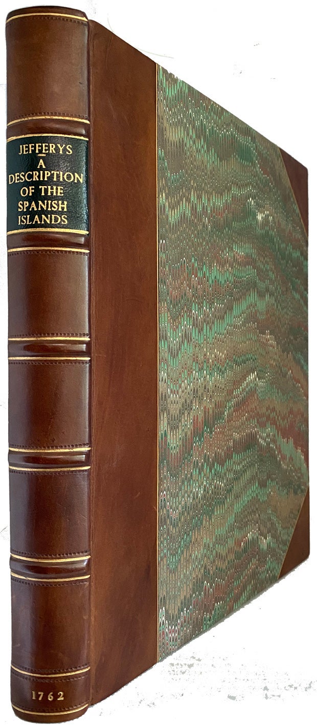
London. Printed for T. Jefferys. 1762. 1st Edition. Hardcover. 4to, tall copy 26x 20cm, The First Edition, [vi], xxiv,106,[2],(index),p., with 31 folding or double-page copper-engraved maps and plans; the frontis map, A New Chart of the West Indies." with outline colour, in modern half brown calf, gilt ruled raised bands, crushed black morocco label, gilt titles, marbled boards, toning throughout as usual, very good to fine. (cgc) As in most copies, lacking the lacking "Map of the Isthmus of Panama". Phillips. Atlases 3941. Sabin 35959. Cox 2 :p220. Cundall 2045. JCB 1328. Palau. 123372. Like his French Dominions, this work of the enterprising and industrious Jefferys is much more than an atlas. The Introduction contains a remarkable succinct history of the Spanish explorations of America, an interesting account of the routes of the various Spanish shipping fleets, and observations on the decline of the power of Spain. The text contains a great deal of information concerning the history, the produce, the climate, the flora and fauna, et cetera, of the various colonies. The chief feature of the work remains Jefferys' engravings, drawn from Spanish, French and English sources. "This work was published when war had just broken out between England and Spain, and when England's attention was called towards Spain's colonies in America. Among the most interesting contents are the accounts of Florida, Pennsacola, and St. Augustine de la Florida" - Cox. The maps were frequently copied from captured Spanish sources. "One of the most prolific and important English map publishers of the 18th century. Geographer to the Prince of Wales and later George III.he produced important maps on America and the West Indies." Tooley, Dictionary Includes Carthagena, Panama, Vera Cruz, much on Cuba, San Domingo, Puerto Rico, as well as other mainland countries of Central America and Florida. Item #40254
Price: $8,000.00 save 25% $6,000.00